The end of the 710: The Connecting Pasadena Project (CPP)

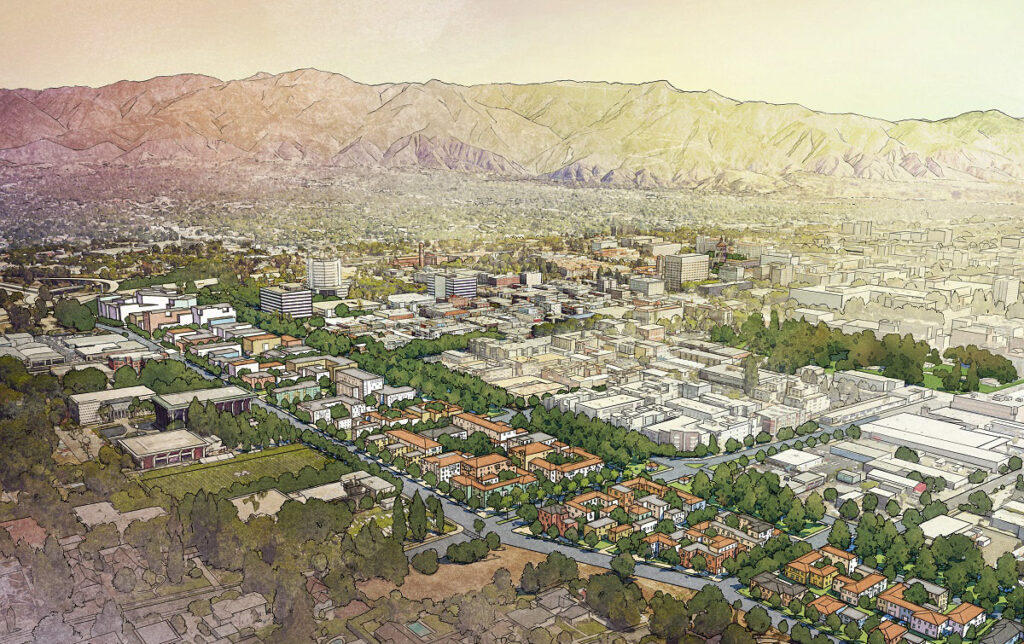
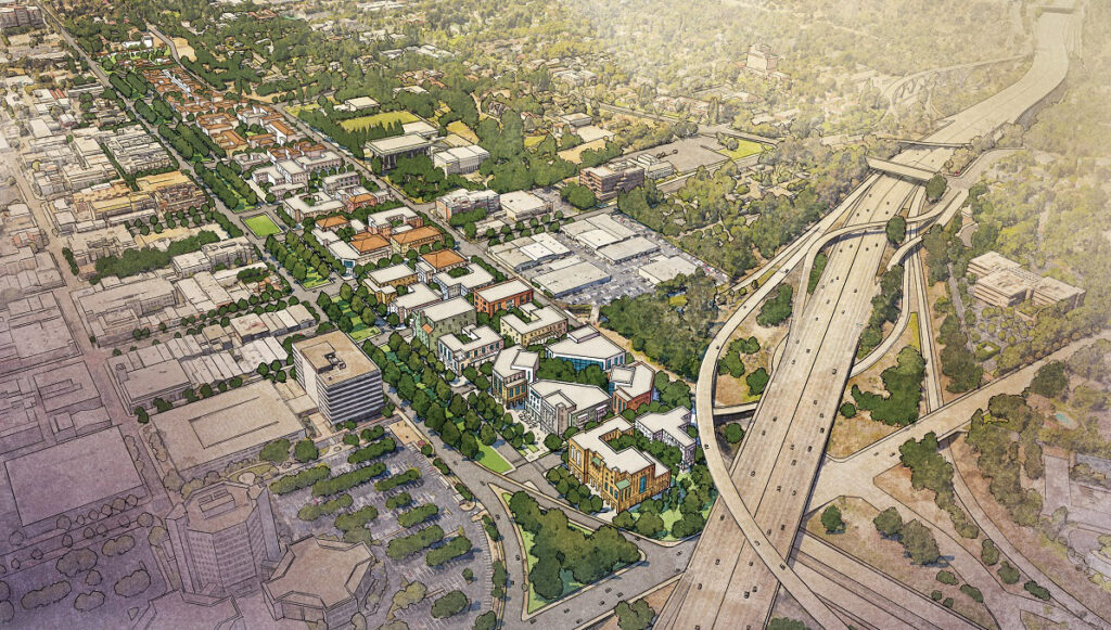
The Connecting Pasadena Project (CPP) was a grass-roots, citizen initiative formed in 2015 and aided by experts in the fields of transportation, urban planning and economic development. Its goal was to provide master planning alternatives for the 710 stub that runs through Pasadena, and to help create a beautiful new city landscape for long-term social and economic value to the City of Pasadena and the region.
Scroll down for more CPP details.


- How did this all start? In 1964 the State of California seized a half-mile swath of Pasadena’s most valuable land, demolishing hundreds of houses to extend the State Route 710 to Routes 110, 134, and 210. The stub now interrupts the street grid that formerly connected Pasadena neighborhoods to the east and west and separates desirable Old Pasadena from key schools, civic assets, and businesses. A similar stub was built in Alhambra and Los Angeles at the intended southern end of the route. To continue reading about the history and context of the 710 and CPP click here.
- A one page summary of the CPP, with overview images, can be viewed here.
- To download a PDF of the full CPP report click here.
Pete Ewing, Chair, Land Use and Planning
planning@wpra.net
